Maré
Natural beach
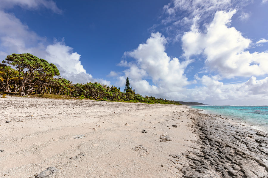
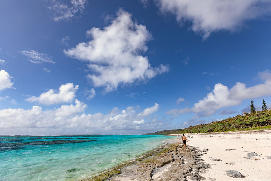
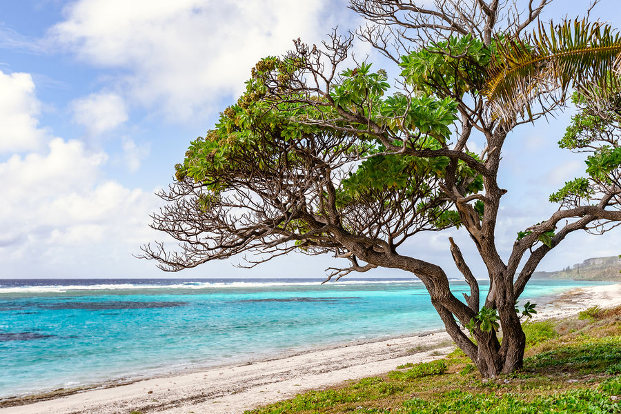
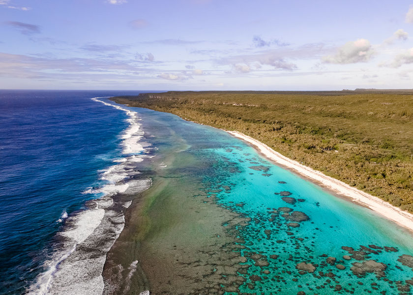
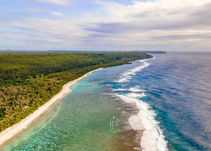
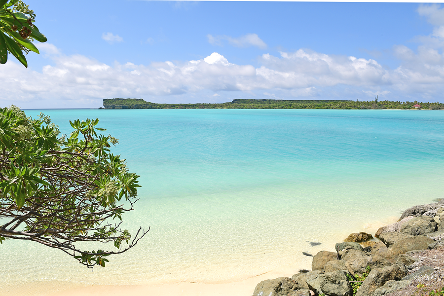
Patho-Kurine Beach
Between Patho to the north and Kurin to the south, this long beach reveals its wild and invigorating nature.
The tribal villages of Patho and Kurine are bordered by a golden sand beach, as deserted as it is wild. In Patho, before dropping down to the coast, the road climbs to the top of a small hill, the Wapulanode, which offers a beautiful panoramic view of the two tribes and this long 7 km beach.
Spoken languages
- French
OPENING
- All year round.
See also
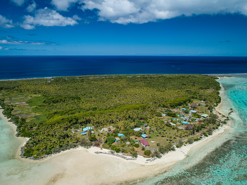
The Atoll of Ouvéa is closed to the west by a string of uninhabited islets and sandbanks that stretch like comet tails clinging to the ends of the main island, these are known as the Northern and Southern Pleiades, and they are separated by the Anemata Pass.
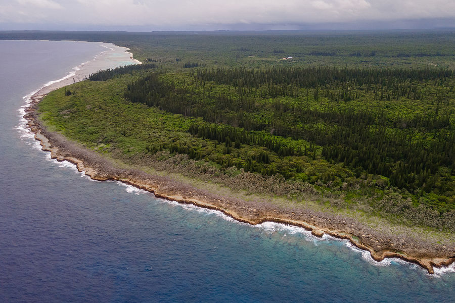
The majestic cliffs at Lékiny stretch for nearly 3 kilometres and are about twenty metres high at their highest point.
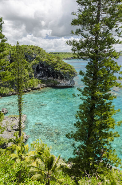
Lékiny Bay, a beautiful, well-sheltered body of water with unique colours, is a customary fishing reserve for the people of the Fayawa tribal village, a small island located in the bay.
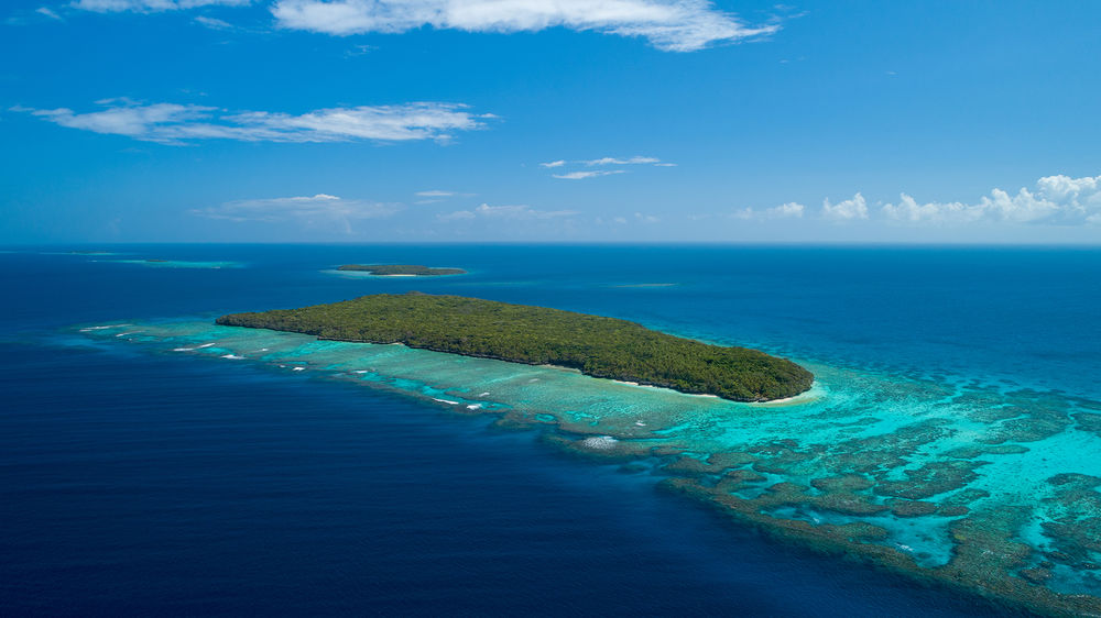
Fayawa Islet is located south of Ouvéa Island, between Mouli Island and Lékiny Cliffs.
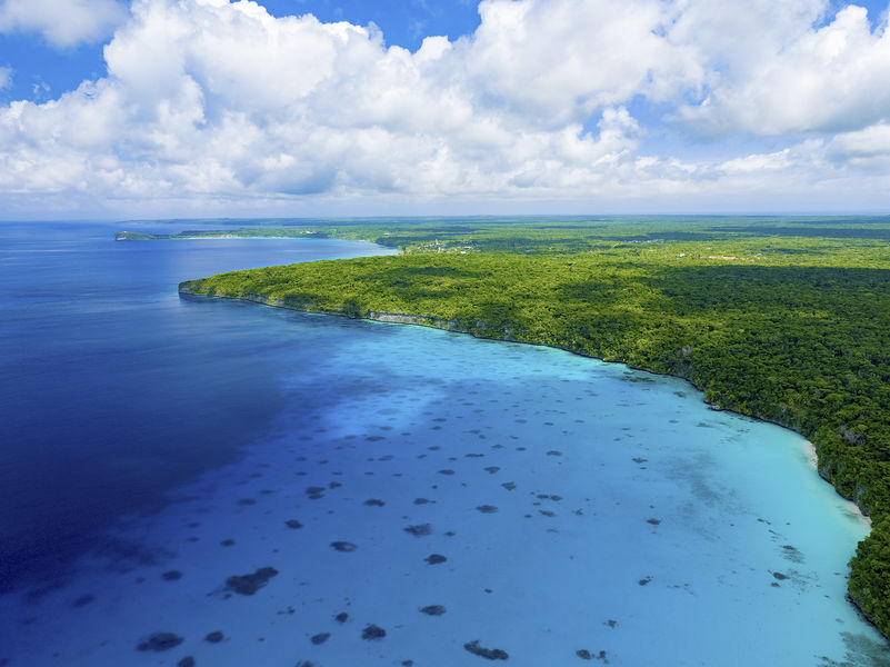
Magnificent cliffs overlooking the lagoon and located north of the island in the Jokin tribal village.
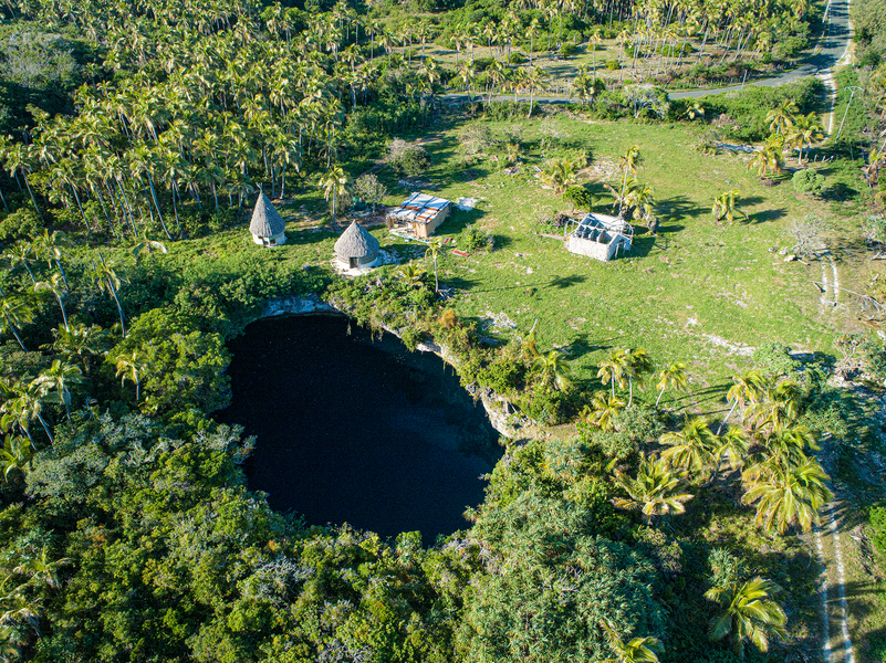
Hidden under the cover of trees near the Takedji tribal village this water hole serves as a refuge for a large number of turtles
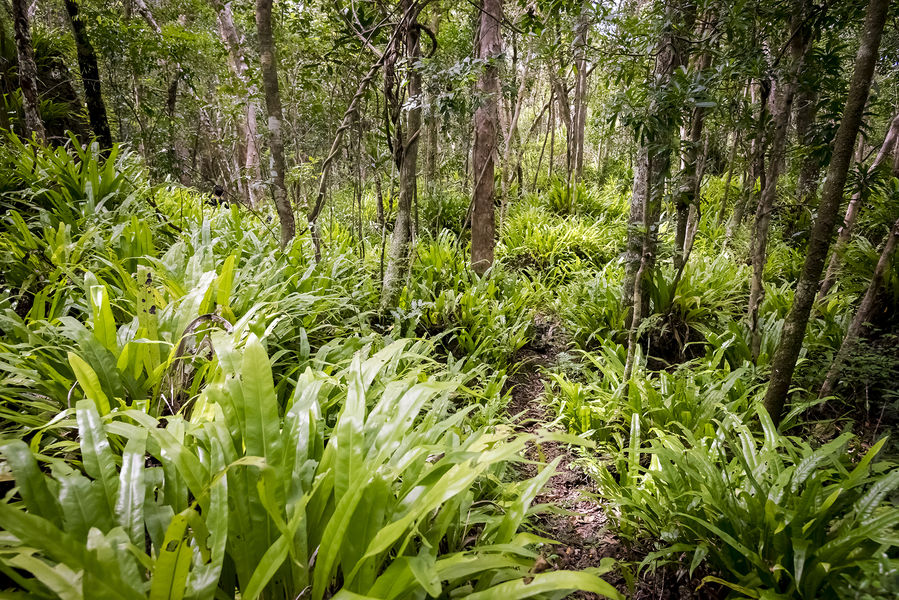
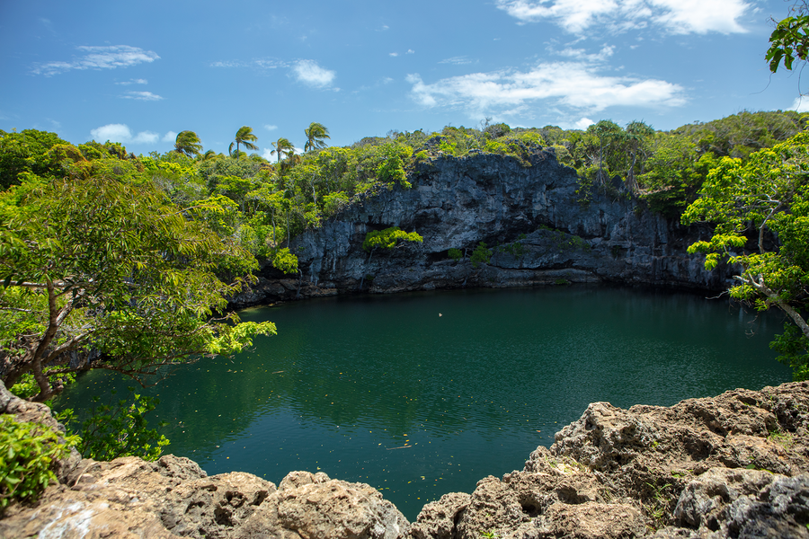
Emerald green water holes are hidden in the middle of a lush forest.
The Atoll of Ouvéa is closed to the west by a string of uninhabited islets and sandbanks that stretch like comet tails clinging to the ends of the main island, the Northern and Southern Pleiades, separated by the Anemata Pass.
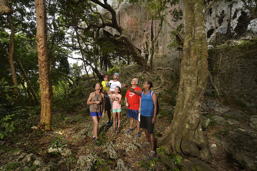
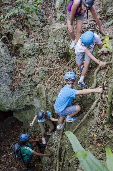
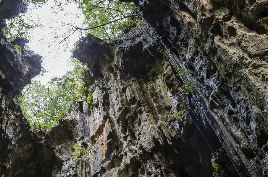
Nestled in the heart of the forest that covers the south of the island, you can discover Anubet cave.
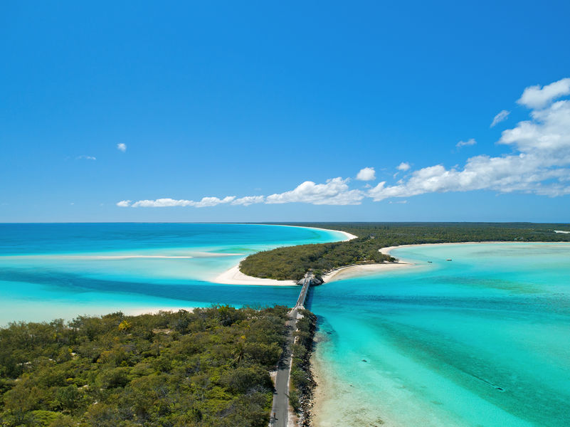
The bridge of Mouli spans the inlet that separates the main island of Ouvéa from the island of Mouli, and where a photo break is essential!
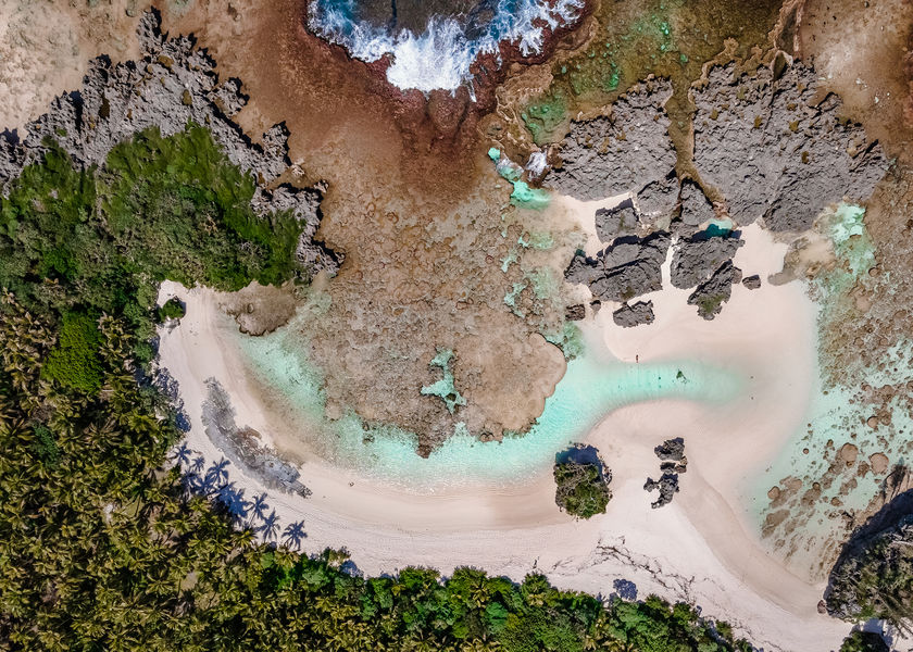
A site by the sea where waves and swells have formed potholes in the coral formations.
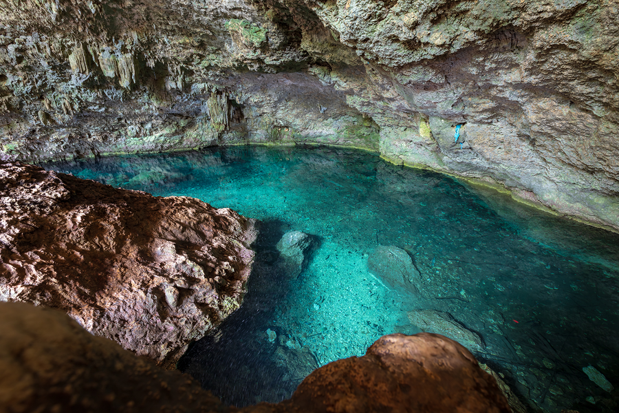
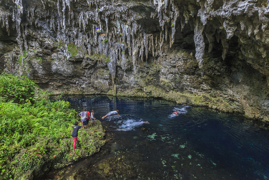
Near Luengöni Beach, a network of galleries leads to an underground pool with cool and clear refreshing water.
Hidden in the forest about fifty metres from the main road, Pethoen Cave is home to a variety of magnificent stalactites.
Sandalwood Bay stretches for nearly 50 km, from Cap Mandé in the south to Cap Aimé Martin in the north.
At Wedrumel you can discover the largest underground cave in Lifou.
Northeast of Lifou, the Devil's Cave is a mysterious place full of legends.
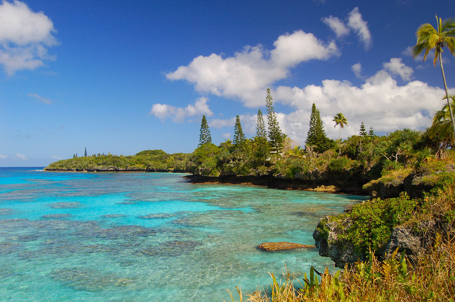
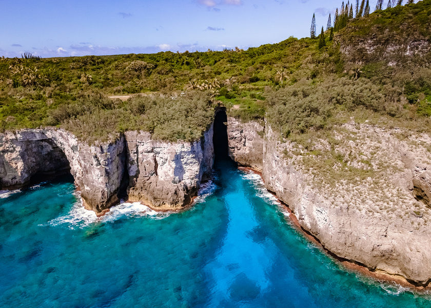
The small bay of Shabadran, protected by a collection of cliffs and columnar pines is one of the most beautiful sites in New Caledonia, it is accessible via an excursion that is as unforgettable as it is demanding!
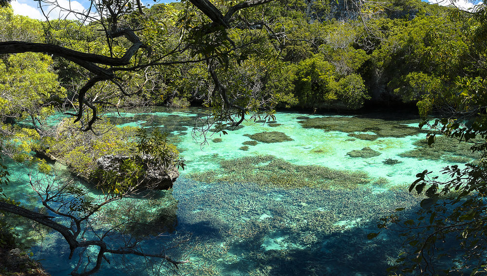
This natural basin with its crystal-clear waters, fed by the passage of the sea under the coral, serves as a refuge for turtles and fish.
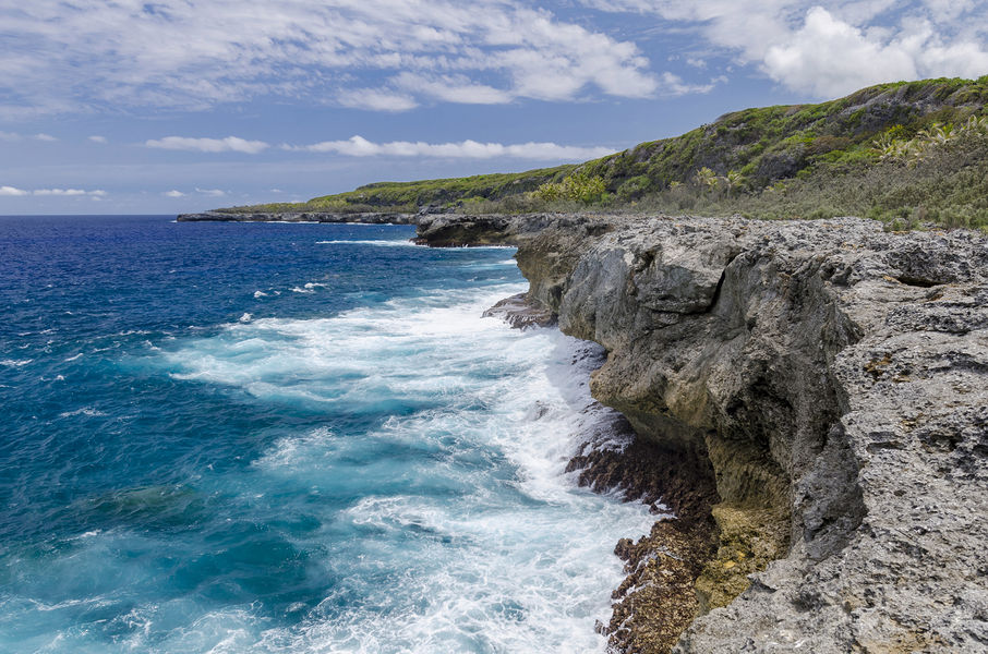
Just south of Lifou, the cliffs of Xodre are a wild and mineral place, from where you can see Tiga island and even Maré island in good weather.
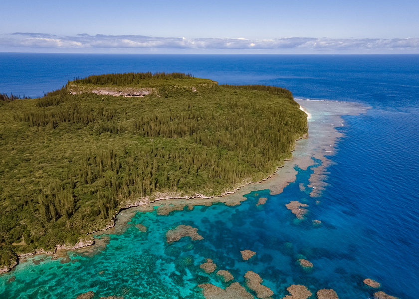
Cape Wabao dominates the southwest of the island with its coral terraces bristling with columnar pines, overlooking small rocky coves with transparent waters that are rich in a wide variety of fish, ideal for snorkelling.
7 km from La Roche, legend has it that a warrior, cornered by his enemies, crossed with a single leap this seven-metre-wide ravine in the cliffs overlooking Allier Bay.
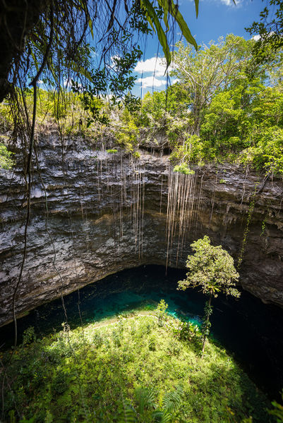
Wedged between the beach and the road, the Blue Hole of Hanawa is a seawater hole 30 metres in diameter, and of unknown depth.